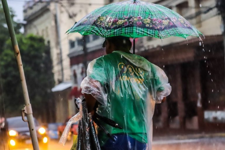

Paraguay is bracing for the arrival of El Niño. The global climate pattern is expected to reach the country this August, bringing warmer winter temperatures, more intense storms, and a higher flood risk through to next summer.
The warning comes from Eduardo Mingo, director of Paraguay’s Department of Meteorology and Hydrology (DMH), part of the National Civil Aviation Authority (DINAC). Mingo said the phenomenon has already established itself in the Pacific and should influence Paraguay’s weather from late August, with its strongest effects building through spring and summer 2027. Paraguay’s government has already begun preventive works nationwide, from clearing waterways to running satellite-based flood simulations.
What is El Niño?
El Niño is the warm phase of a climate cycle called the El Niño-Southern Oscillation, or ENSO. The cycle has three states: El Niño (warm), La Niña (cool), and a neutral phase, and any can occur at any time of year.
The process begins off the coasts of Peru and Ecuador, where trade winds normally push warm surface water westward across the Pacific. During El Niño, those winds weaken, letting the warm water shift eastward and settle along South America’s coast.
The ocean then transfers this heat into the atmosphere, altering wind patterns, air pressure, and rainfall worldwide. Meteorologists call this a teleconnection: the phenomenon unfolds in the Pacific, but its effects reach landlocked Paraguay, over 3,000 kilometres away.
How this matters for Paraguay
Paraguay sits within the wider Río de la Plata basin, a region sensitive to warm ENSO phases. According to Mingo, this winter’s first noticeable effect has been milder cold fronts, since the polar air masses moving up from the south have been weaker than usual, so temperatures have not dropped as sharply as normal.
The more consequential impact is expected later in the year. As El Niño strengthens through spring and summer, it adds energy to the weather systems behind Paraguay’s seasonal storms, including the traditional early-spring downpour known as the Santa Rosa storm, which usually falls around 30 August. Forecasters expect stronger winds, heavier hail, and more frequent lightning as a result.
“Two kinds of flooding”
Officials distinguish between two flood risks. The first is flash flooding, when intense rain falls faster than a city’s drainage system can cope, pooling in streets and low-lying neighbourhoods within hours. Mingo said this could hit any part of Paraguay, not only riverside areas, since urban run-off eventually reaches the same watercourses.
The second, slower risk is river flooding, when sustained heavy rain across an entire basin, including Brazil’s Pantanal wetlands, gradually pushes the Paraguay River’s level upward over weeks or months. Officials expect this more severe flooding, if it occurs, to peak in 2027, since river levels lag behind the rainfall that drives them.
Learning from past events
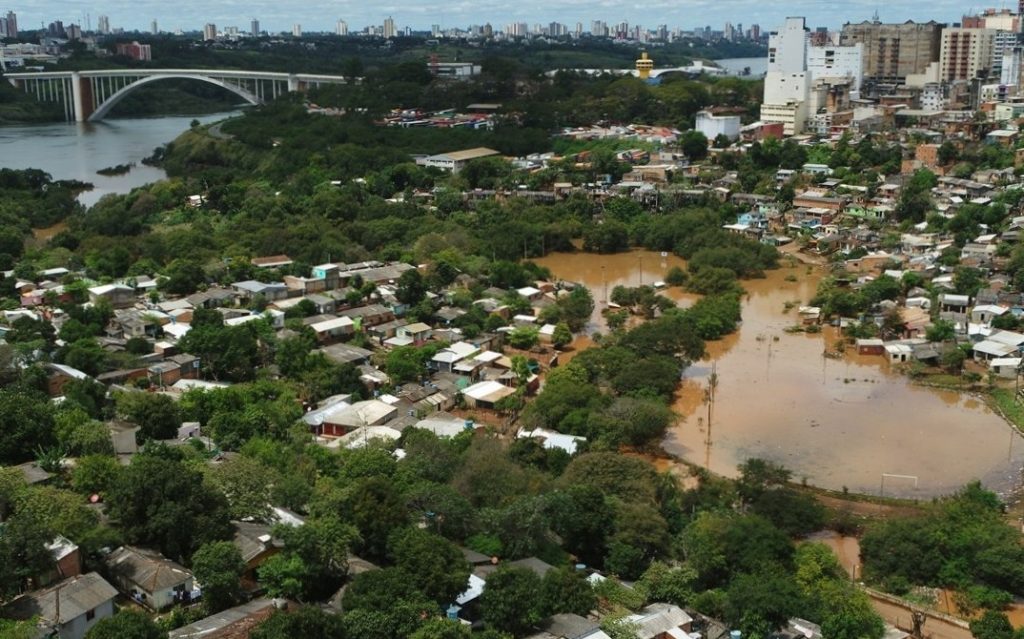
Not every El Niño episode behaves the same way, and forecasters describe each one as having its own distinct “profile.” Paraguay’s worst flood on record came in May 1983, when the Paraguay River reached 9.01 metres at the port of Asunción, its highest level ever documented.
A more recent episode, in 2023 and 2024, hit the Paraná River basin hardest, flooding Ñeembucú, Misiones, and Itapúa, while parts of the Chaco saw rainfall shortages. That episode also flooded Porto Alegre, in southern Brazil, before reaching the Paraguayan city of Pilar.
The most vulnerable areas this time include the lower and middle Paraguay River, covering riverside Asunción and the towns of Alberdi, Pilar, and Concepción; the southern departments of Ñeembucú, Misiones, and Itapúa, where flat farmland floods easily; and the central and lower Chaco, where poor drainage alternates drought with sudden flooding that cuts off communities.
How Paraguay prepares for El Niño
The Paraguayan Space Agency is using satellite imagery from NASA and other international agencies, plus high-resolution drone photography, to model how a rising Paraguay River could affect Asunción’s riverside neighbourhoods. Speaking to local media, Alejandro Román, the agency’s Director of Aerospace Execution and Development, said that the simulations use a worst-case scenario based on the 1983 flood to estimate how many schools and health centres could be affected.. That data is shared with the National Emergency Secretariat and Paraguay’s ministries of Public Health and Education for planning purposes.
Separately, the Secretariat has ordered waterway clearing in at-risk municipalities including Limpio, Mariano Roque Alonso, Luque, Nueva Italia, and Villeta, while soldiers and police clean drains and streams in San Lorenzo, Central Department. Asunción’s municipal risk management office is maintaining storm drains and mapping flood-prone points across the city.
Mingo said this El Niño is shaping up to be a strong one, but its impact will depend heavily on preparation. Officials are urging residents to avoid dumping rubbish into streams, which worsens flooding, and to eliminate standing water around their homes, since it can become a mosquito breeding site.