Paraguay, a landlocked country in the heart of South America, holds a unique geopolitical identity. Although it may appear small in comparison with its neighbours, the country is divided in a way that reflects its historical, environmental, and administrative realities. Understanding this division is essential to grasp how Paraguay functions politically and economically.
The country’s terrain also plays an important role in shaping its geopolitical regions. Paraguay’s eastern region is part of the Paraná Plateau, characterised by fertile red soil and dense forest, which make it ideal for agriculture and human settlement. In contrast, the western Chaco region is largely flat, arid, and inhospitable, limiting both population density and economic activity. This environmental divide reinforces the administrative and social contrasts between the two halves of the nation.
The two main Paraguay geopolitical regions: Occidental and Oriental
The current geopolitical structure of Paraguay is the result of historical shifts, particularly following the War of the Triple Alliance (1864–1870), which reshaped national borders and governance. The division between east and west has remained largely intact, reinforcing the cultural and economic disparities between the two sides. In recent years, however, there have been growing efforts to improve integration, especially through investment in infrastructure across the Chaco.
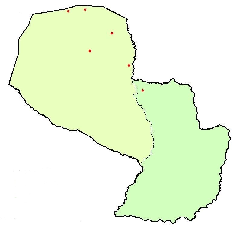
Paraguay is divided by the Paraguay River into two major regions: the Occidental Region (Chaco) to the west, and the Oriental Region to the east. This natural division has shaped the country’s development, population distribution, and infrastructure. The Occidental Region, covering about 60 per cent of the land, is sparsely populated and dominated by dry forests, wetlands, and plains. In contrast, the Oriental Region is more fertile and densely populated, and it is home to Paraguay’s major cities, including the capital, Asunción.
The 17 departments and the Capital District
The official division of Paraguay into departments and districts is governed by detailed territorial legislation. According to the Estudio de Límites Distritales de la República del Paraguay – 2024 (Study of District Boundaries of the Republic of Paraguay), the country consists of 17 departments and one capital district, which are in turn subdivided into 262 legally recognised districts. These districts form the primary units of local government and are essential for public service delivery, land registration, and municipal planning.
The departments and their respective capitals are as follows:
- Alto Paraguay – Fuerte Olimpo
- Alto Paraná – Ciudad del Este
- Amambay – Pedro Juan Caballero
- Boquerón – Filadelfia
- Caaguazú – Coronel Oviedo
- Caazapá – Caazapá
- Canindeyú – Salto del Guairá
- Central – Areguá
- Concepción – Concepción
- Cordillera – Caacupé
- Guairá – Villarrica
- Itapúa – Encarnación
- Misiones – San Juan Bautista
- Ñeembucú – Pilar
- Paraguarí – Paraguarí
- Presidente Hayes – Villa Hayes
- San Pedro – San Pedro de Ycuamandiyú
- Capital District – Asunción (autonomous, not part of any department)
The departments vary significantly in both size and population, with the Central Department being the most densely populated due to its proximity to the capital. They are grouped under the two major regions. For example, Presidente Hayes, Boquerón, and Alto Paraguay belong to the Chaco, while Itapúa, Alto Paraná, and Caaguazú form part of the Oriental Region. Each department has a governor and administrative structures responsible for managing resources, education, healthcare, and infrastructure at the local level.
The role of district limits in Paraguay’s development
Clearly defined district boundaries are crucial for national development. Inaccurate or outdated territorial definitions can hinder infrastructure projects, education access, and the delivery of health services. As Paraguay continues to urbanise and expand economically, there is a growing demand for administrative modernisation to ensure that district boundaries reflect both legal and demographic realities.
Paraguay’s territorial organisation reflects a combination of natural geography, colonial history, and modern administrative evolution. From the Paraguay River that divides the land in two, to the post-war treaties that redrew its borders, the country’s current structure is the result of centuries of adjustment. With 262 districts and diverse environmental zones, Paraguay continues to adapt its internal boundaries to meet the demands of governance and development in the twenty-first century.